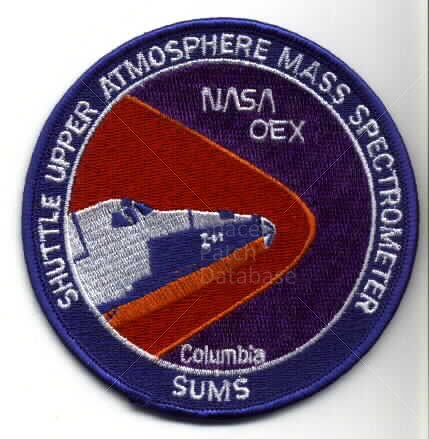
The MAPS instrument measures the distribution of carbon monoxide in the Earth's lower atmosphere (3 to 10 kilometers above the surface), from latitude 57 degrees North to latitude 57 degrees South. The MAPS instrument has flown aboard the Space Shuttle four times: in November 1981 (STS-2), as the first science payload on the Space Shuttle, in October 1984 (STS-41G), and in April 1994 (STS-59) and October 1994 (STS-68).